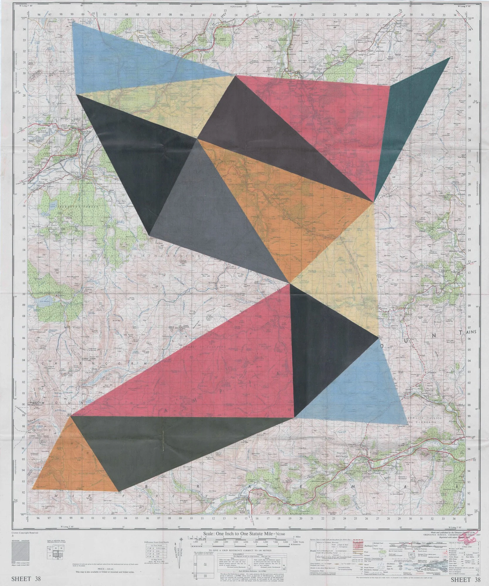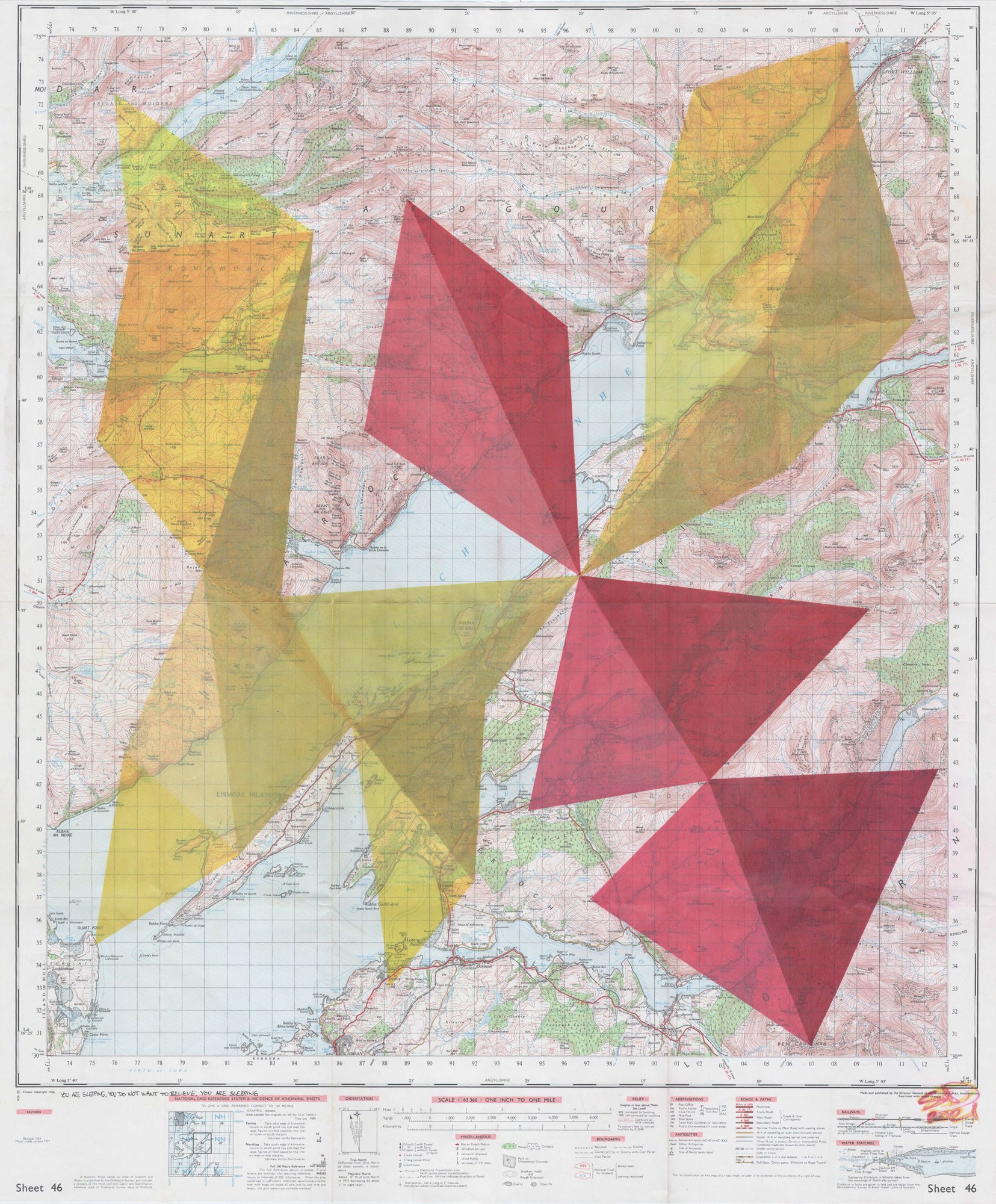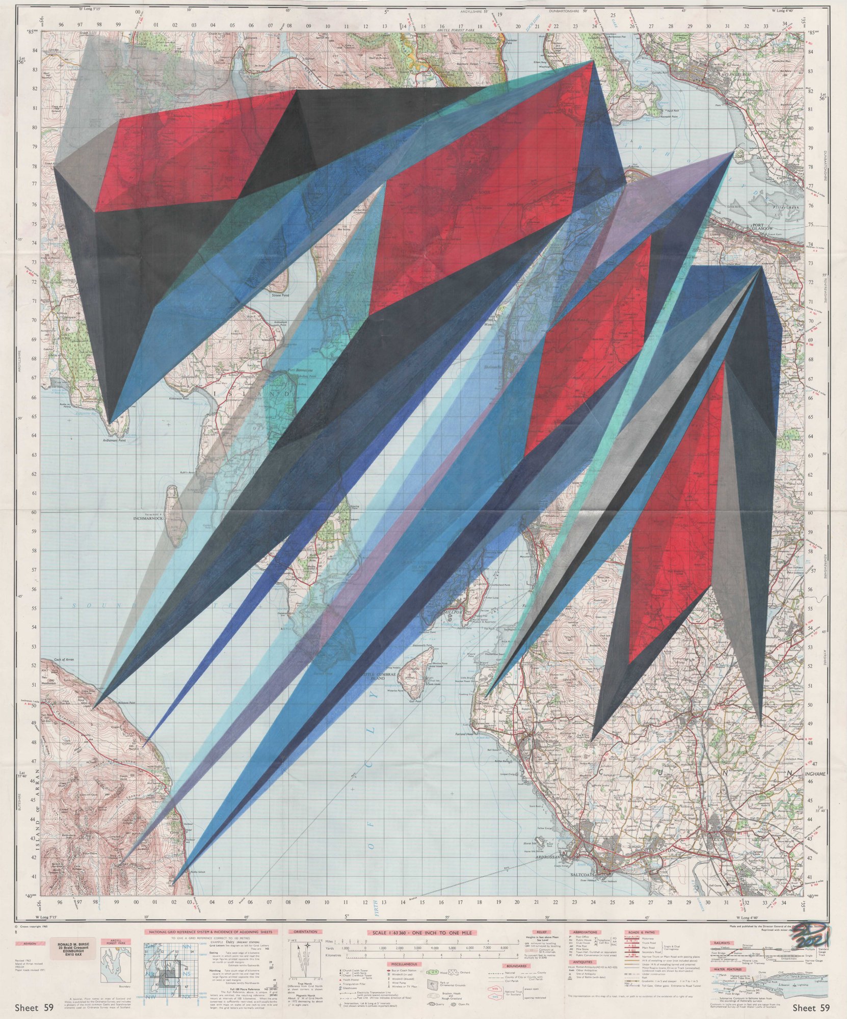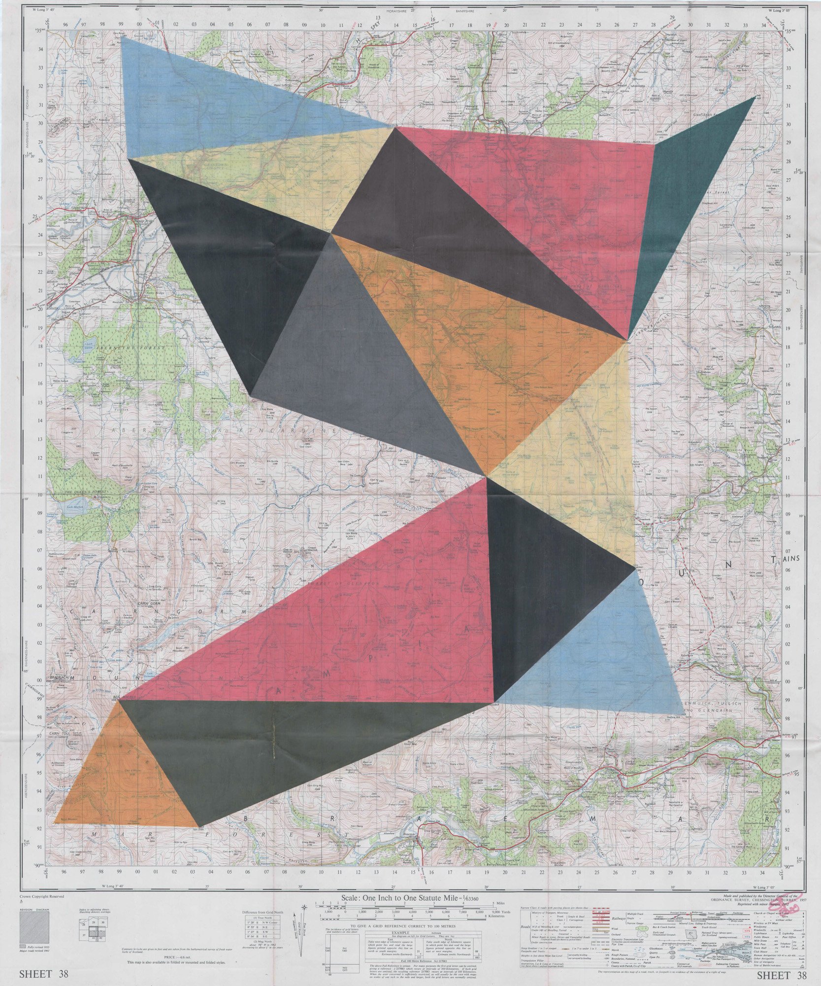
The works in Stuart Deasley’s ongoing “Trig” series transform Ordnance Survey One-Inch maps into both canvas and conceptual framework. Using the precise locations of the United Kingdom’s trigonometric points—commonly known as trig points—Deasley constructs intricate compositions that merge cartographic logic with artistic intuition. The spatial relationships between these survey markers are investigated, connected, and used to generate unique triangulated structures that anchor each piece.
Stuart Deasley
These triangulations become the underlying rhythm of the work: a geometric lattice that organises the surface while simultaneously fracturing its inherited geography. The original maps, dense with historical data and topographical detail, dissolve into fields of intersecting lines and shifting colour harmonics.
By mapping trig-point networks and reanimating them through colour studies, Deasley transforms instruments of measurement into conduits for aesthetic exploration. The final illustrations—rendered meticulously by hand in coloured pencil—retain an intimacy that counters the maps’ original utilitarian purpose. They are at once analytical and lyrical, structured yet quietly reflective.
At the heart of Trig lies its visual rhythm: the cadence of converging vectors, the pulse of chromatic variation, and the gentle tension between the map’s factual origins and the artist’s interpretative intervention. Some drawings vibrate with the dynamic energy of geometric improvisation, while others unfold with the calm precision of a measured study.
Deasley has lived and worked in Edinburgh, Scotland, since 2005, following the completion of a Degree and Diploma in Architecture at the University of Portsmouth.
His engagement with Ordnance Survey maps began in 2012, when he first used sequences of grid intersections as a means of visualising the role of chance within structured systems. As his practice developed, Deasley increasingly drew upon specific features represented on the maps themselves, using them to generate underlying frameworks from which each composition could emerge
Through these methods, or through future evolutions of them, Deasley aims to produce a work corresponding to every Ordnance Survey One-Inch map sheet covering Scotland..
“Maps record the world as it is, but my work explores the world as it is felt—where measurement gives way to geometry, and geometry to imagination.”
Interview: