Frederico Winer
Federico Winer turns satellite images into symphonies of form and light—capturing the unseen poetry etched across Earth's surface.
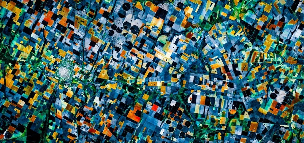
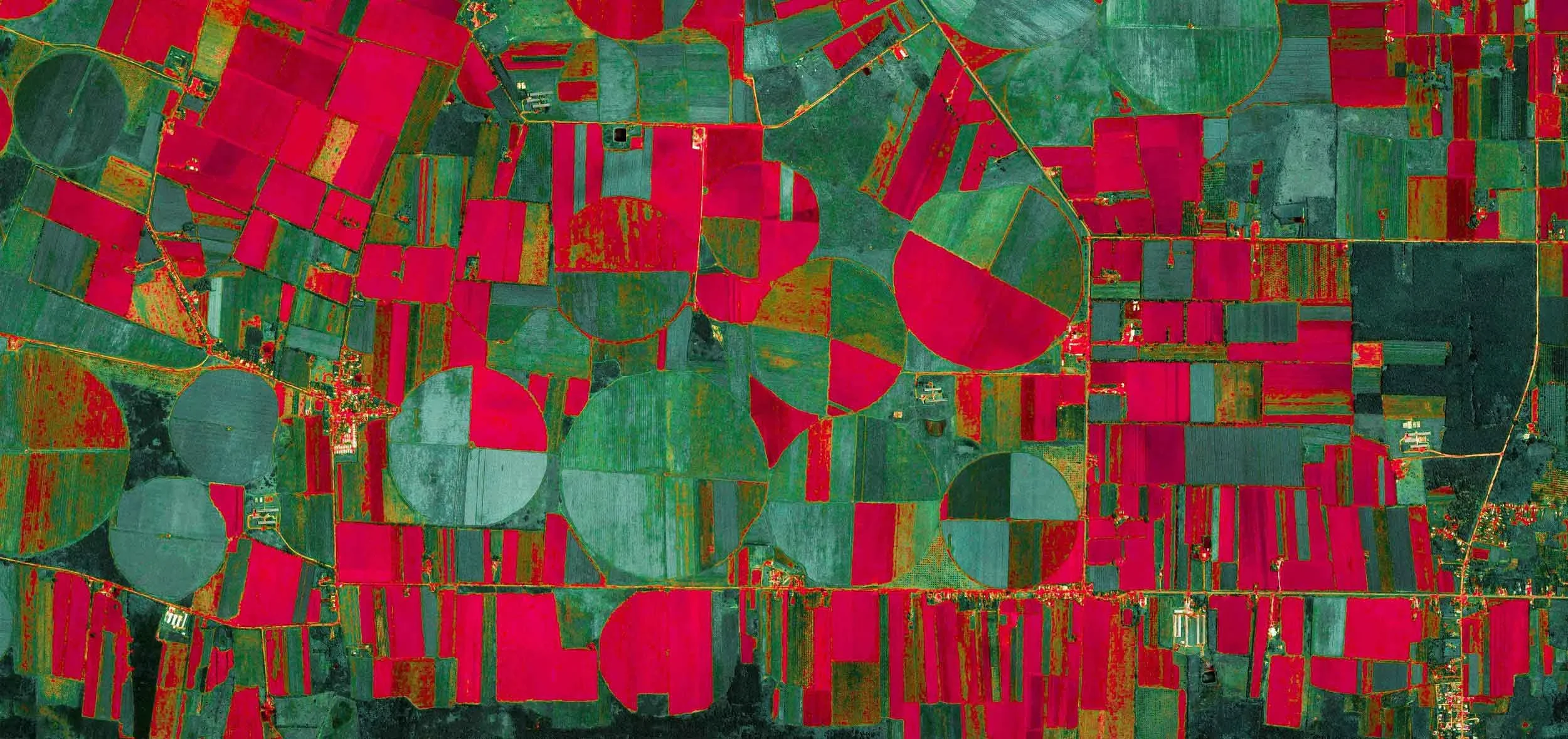
Federico Winer is an Argentine visual artist, photographer, and academic whose work blurs the boundaries between geography, technology, and aesthetics. Through his satellite art project Ultradistancia, Winer transforms high-resolution imagery into captivating visual compositions—distilling patterns, geometries, and human-made forms into a new kind of “aesthetic geography.” The project experiments with the boundaries between travel, photography, geography, and digital art, using images from Google Earth to capture the geometry embedded in human construction. Winer immerses himself in these digital landscapes to uncover new perspectives and reveal the hidden beauty of our natural world. His photographs reflect on the poetic possibilities of travel without movement—an idea made tangible by modern technology. Inspired by the historic evolution of cartography and driven by philosophical inquiry, his art reimagines how we perceive space, offering viewers a contemplative lens on the planet as seen from afar and shaped by human presence.
SELECTED EXHIBITIONS:
1 X 1 X 1 collective exhibition in RCB Galleria – Bangkok Thailand 2020 | Studio of the East – collective exhibition in RCB GALLERIA. Bangkok. Thailand 2020 | ULTRADISTANCIA PORTS exhibition in LABUM. Puglia, Italy 2019 | ULTRADISTANCIA PORTS exhibition in On Board: Festa del Mare Bari 2019. Bari, Italy 2019.

“I view maps as a form of art, as a sublime interpretation of the world. As a visual artist, as a photographer, I’m always looking for patterns, forms, geometries, light, and color. Aerial photography and satellite imagery have expanded my ability to find these patterns, geometries, and colors, on the earth’s surface. Ultradistancia is my attempt at making sense of our world, using Google Earth as a starting point. As an avid voyager, Ultradistancia allows me to travel without moving, to scope the immensity of our planet from a computer screen, distort and experiment with forms. The whole world has become my canvas. The result is a kind of aesthetic geography that I want to share with others.
In Ultradistancia, I intercept satellite images beamed to us by Google Earth and capture them at very high resolution. I spend endless hours flying over the earth until a geometry catches my eye, until one human construction emerges above others. And then I immerse myself in the image, and I emerge with something new. When I start shaping, I never know where a work is going, only I know when a work is done. A new perspective, a new art.”
Interview: